 by
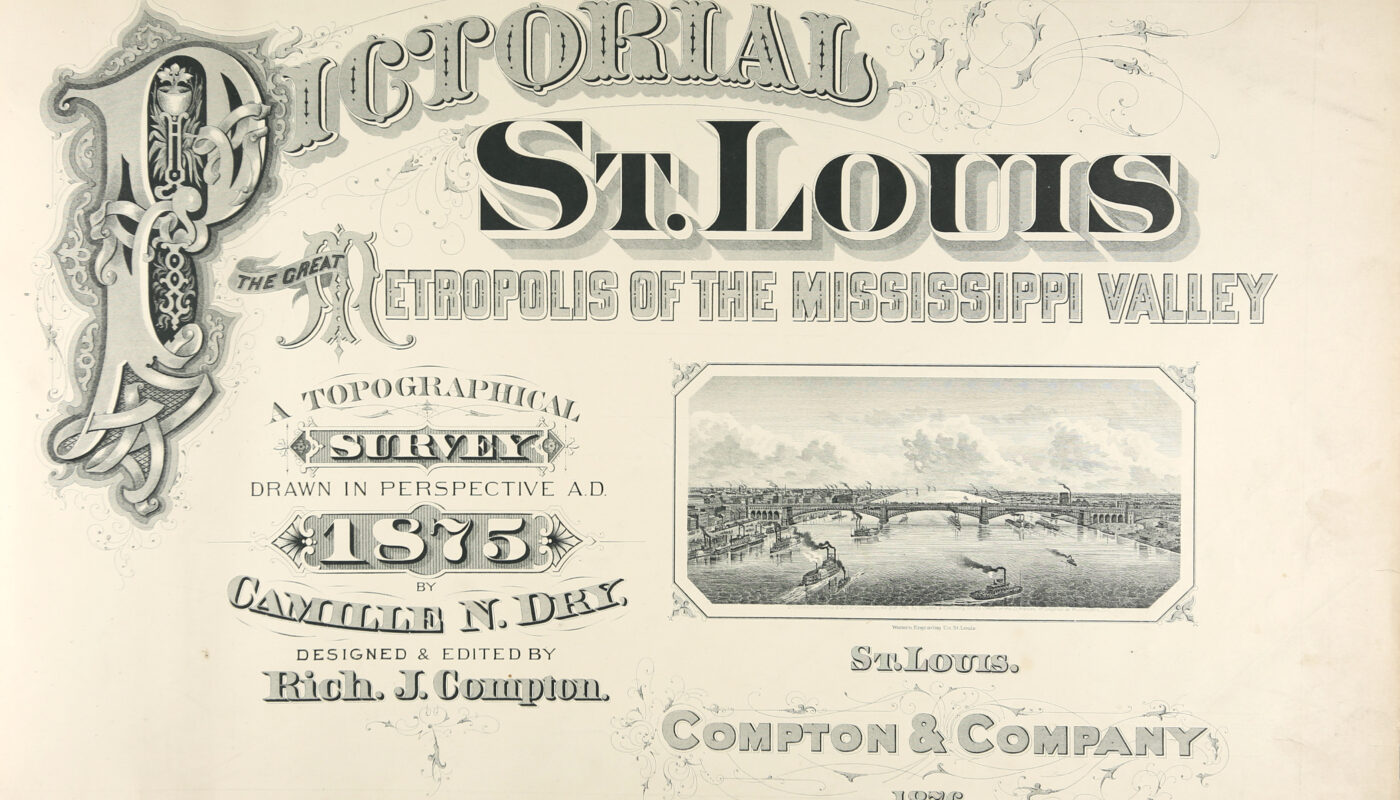
by One of the most impressive and unusual maps made of an American city in the nineteenth century was Richard J. Compton and Camille N. Dry’s 1876 Pictorial St. Louis: The Great Metropolis of the Mississippi Valley. “Bird’s-eye-view” or aerial perspective maps were a popular way at that time for cities to advertise themselves as attractive locations for new residents and industries, though often employing some artistic liberties in the process. Compton and Dry, however, chose to represent the urban landscape of St. Louis in meticulous detail, showing thousands of buildings in every part of the city, by using an axonometric projection–one without vanishing points–so that city streets were shown parallel to one another rather than converging in the distance. This unusual choice allowed for a more accurate representation of scale and eliminated the illusion of buildings disappearing into the horizon. It also produced a remarkable visual record of the city as it was when the maps were drawn in 1875.
Compton and Dry’s dedication to detail resulted in a map so large that it was divided into 110 individual engravings bound together as an oversized oblong book. It includes an index of businesses, churches, hospitals, and schools, all of which were numbered in the plates. Businesses paid to have their buildings identified, some even paying an additional fee to place an ad on the reverse side of the map. Below are some details of this publication from a copy preserved in Special Collections.