 by
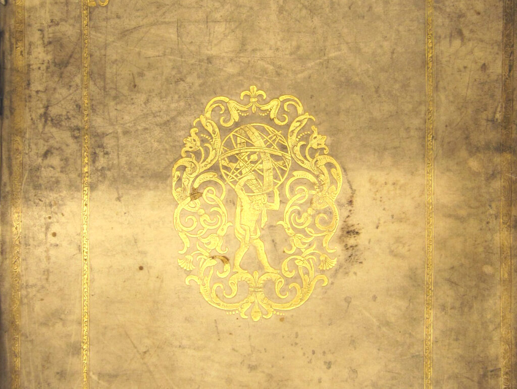
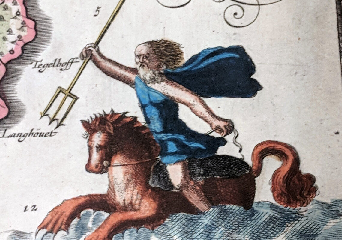
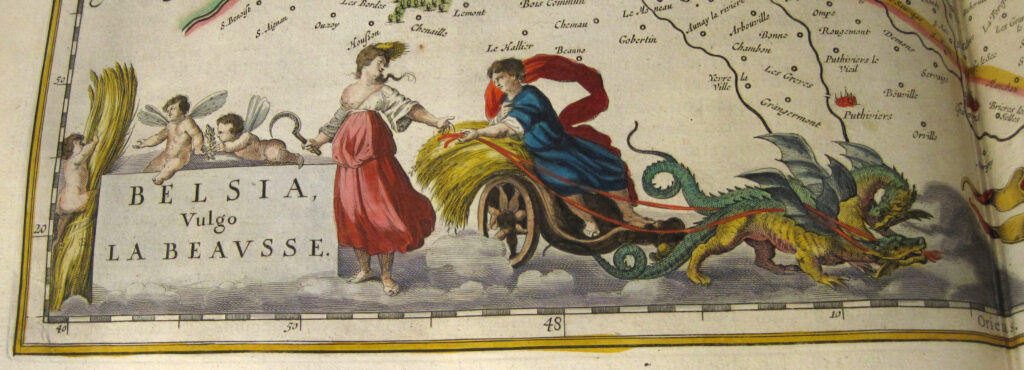
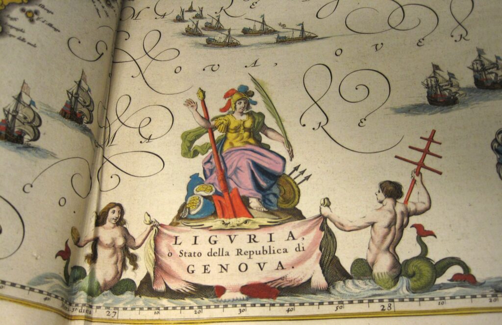
by Joan Blaeu’s Atlas Maior was one of the grandest and most expensive publishing projects of the seventeenth century. It was a product of the unprecedented economic growth and revival of trade and exploration characteristic of the Dutch Golden Age. Published in Amsterdam between 1662 and 1672 in five different languages, the multi-volume sets are widely considered to be the peak of Dutch cartography with their careful workmanship, beautifully hand-colored maps, and large format.

Blaeu relied on older, often out-of-date surveys and recycled plates from his earlier works, or copied printed maps from other publishers to create the content for his atlases. The availability of sources dictated the balance of the countries and regions represented in the Atlas, explaining why some received more attention than others. The 1662 Latin edition — the one in SLU’s Special Collections — consists of eleven volumes covering the following:
- Volume 1 – Northern Europe, Norway, Denmark, and Schleswig
- Volume 2 – Sweden, Russia, Poland, Eastern Europe, and Greece
- Volume 3 – Germany
- Volume 4 – The Netherlands
- Volume 5 – England
- Volume 6 – Scotland and Ireland
- Volume 7 – France and Switzerland
- Volume 8 – Italy
- Volume 9 – Spain and Africa
- Volume 10 – Asia
- Volume 11 – America

Containing 594 detailed maps and 3,368 pages of text, it is estimated that the Latin edition took 2,400 days or seven years of labor to set the type alone. The workmanship and scale of the Atlas were reflected in its price — equivalent to the annual salary of a seventeenth-century craftsman — making it a status symbol for those that could afford it. Because of the cost and prestige associated with the project, full sets were sometimes given as diplomatic gifts.

Extensive as it was, the eleven atlases were intended to be part of a full cosmography with two additional publications providing detailed maps of the oceans and skies, but Blaeu died before they could be produced.
The volumes in Special Collections underwent a gentle cleaning a few years ago to remove layers of soot that covered the bindings and page edges generated by candles and oil lamps used for light and coal-burning heaters for warmth in the nineteenth century. See the images below for a comparison of the before and after.